Use of Trail: Hiking / Bicycles / Fishing
Length of Trail: 10.07 Mile loop
Elevation Gain: 993 Ft. Gain
Difficulty: Moderate
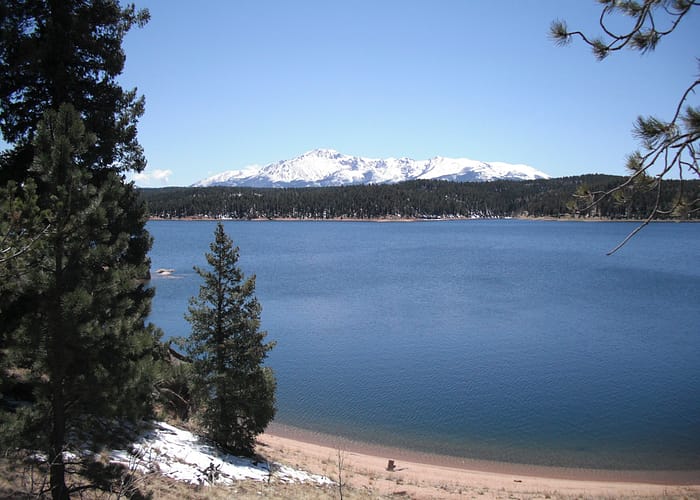
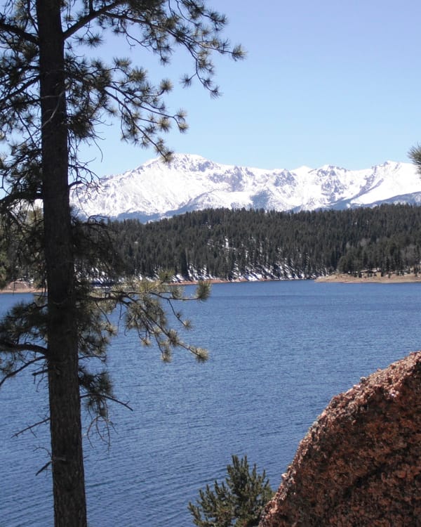
This relatively easy 10.07-mile loop follows the shoreline of Rampart Reservoir located in the Pike and San Isabel National Forests. Around the lake, there are opportunities to enjoy a picnic or go fishing. Bring your pup, dogs are okay on leash. Leave your off-road toys at home, motorized vehicles are prohibited.
Trailhead Directions: From Manitou Springs, take US 24 West for 13 miles to Woodland Park and turn right onto S Baldwin St. Continue on S Baldwin St as it bears left and becomes Rampart Range Rd. Then, follow the signs to Rampart Reservoir, traveling 2.9 miles before turning right on Loy Creek Rd and another 1.5 miles to Rampart Range Rd/F.S. 200. Continue 3.8 miles and turn left on F.S. 306 through to parking at the end of the road. Day use fee is $5/car.
NOTE: In Winter, F.S. 306 is closed. Use the Rainbow Gulch Trail to connect to the Rampart Reservoir Trail.
*Detailed trail information and maps for can be found for sale at the Manitou Springs Visitor’s Center at 354 Manitou Avenue, Manitou Springs, CO (719) 685-5089